Cantanhez National Park
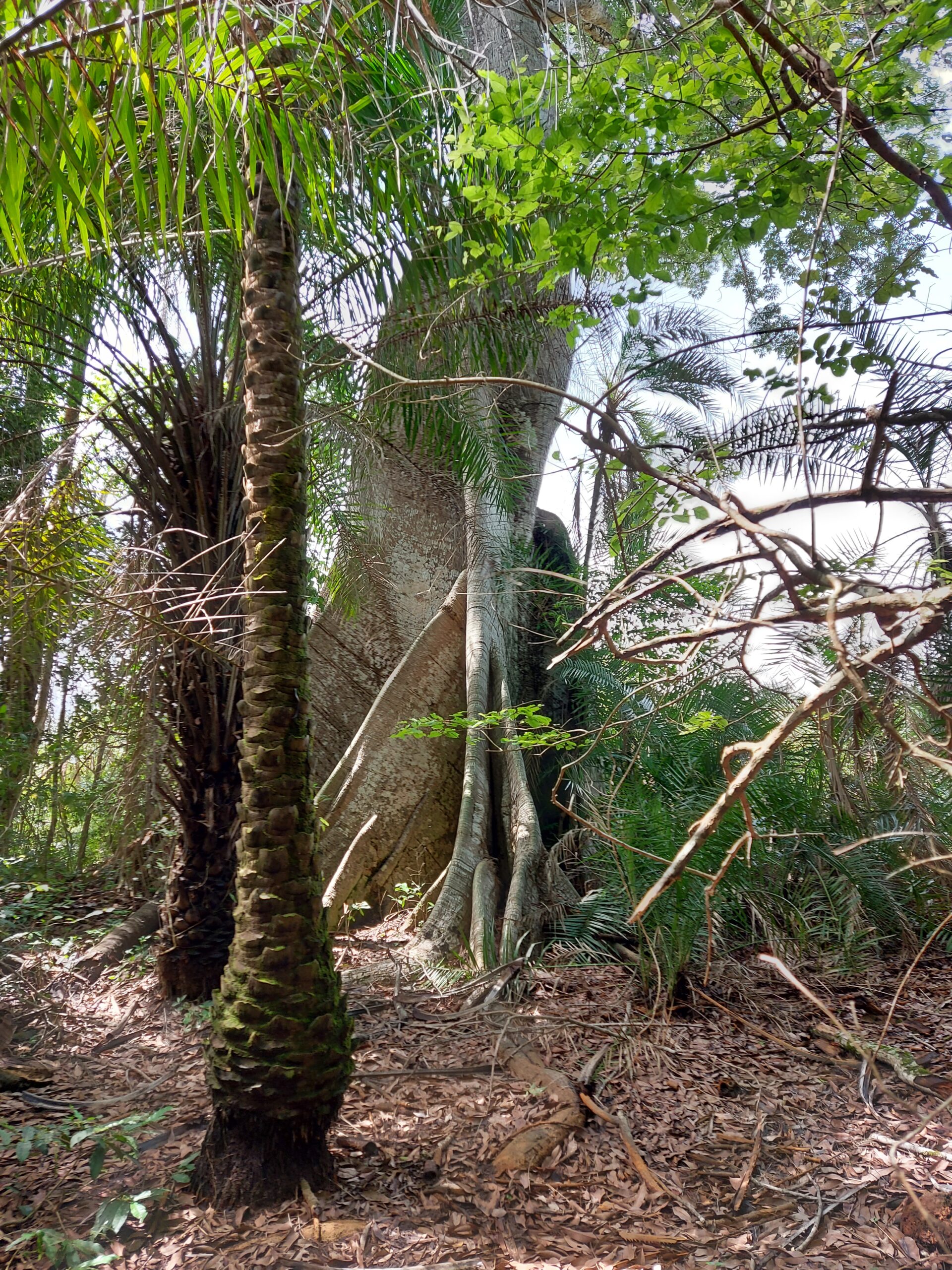
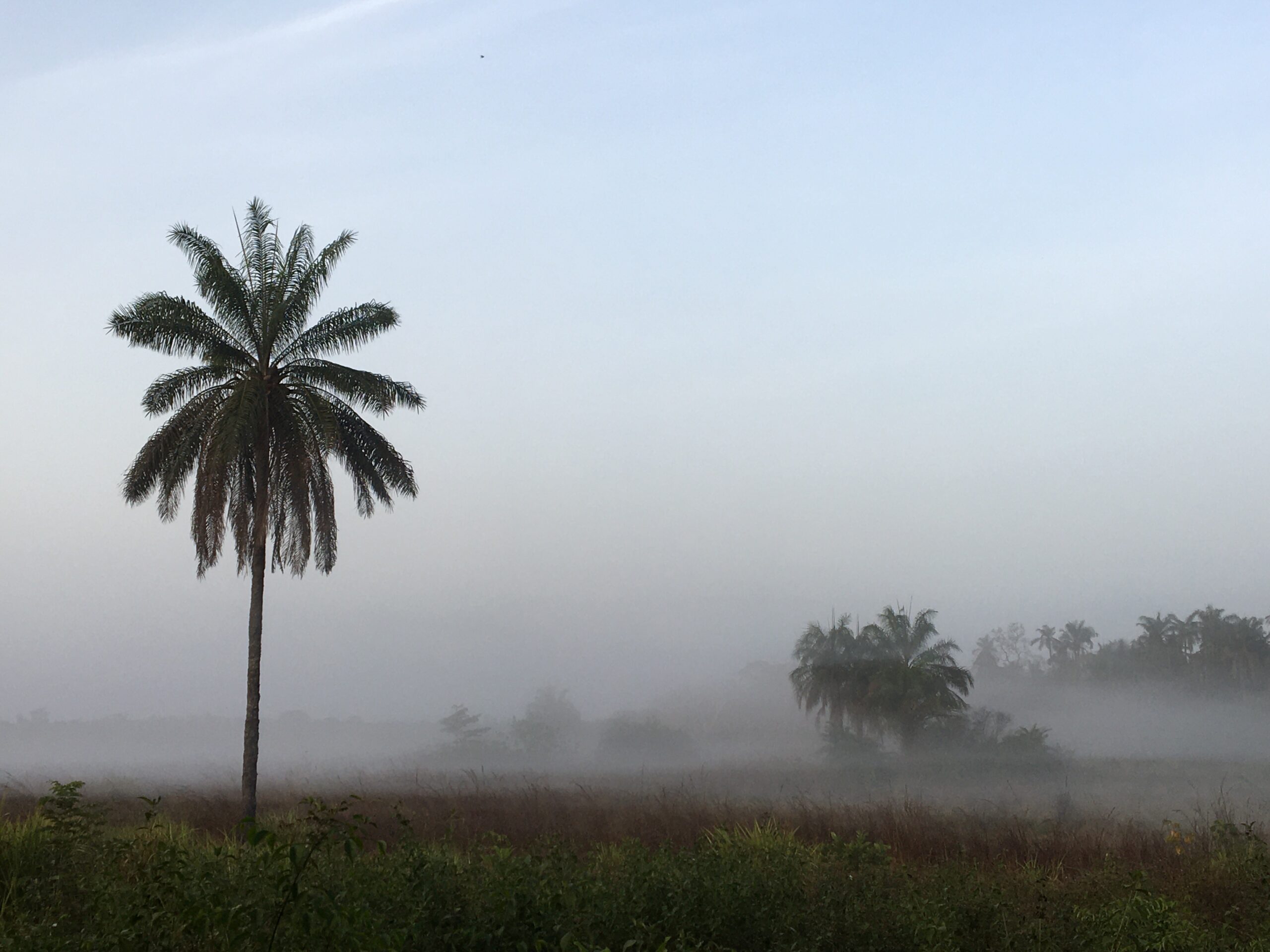
The landscape also encompasses villages, roads, and a mosaic of forest edges consisting of open forest or palm groves.
Location
Cantanhez National Park
Cantanhez National Park (NP) is situated in the southern part of Guinea-Bissau, bordering Guinea-Conakry
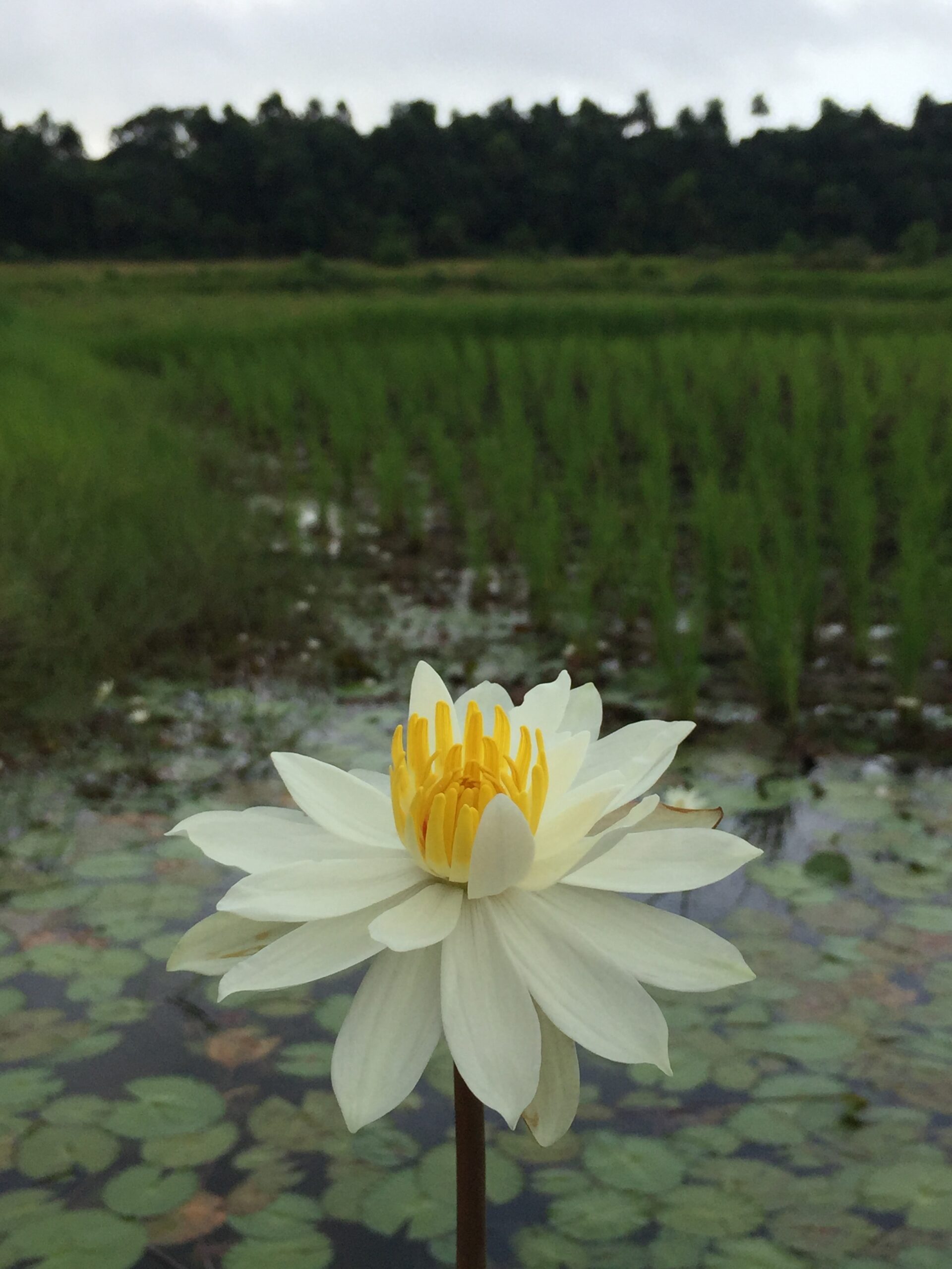
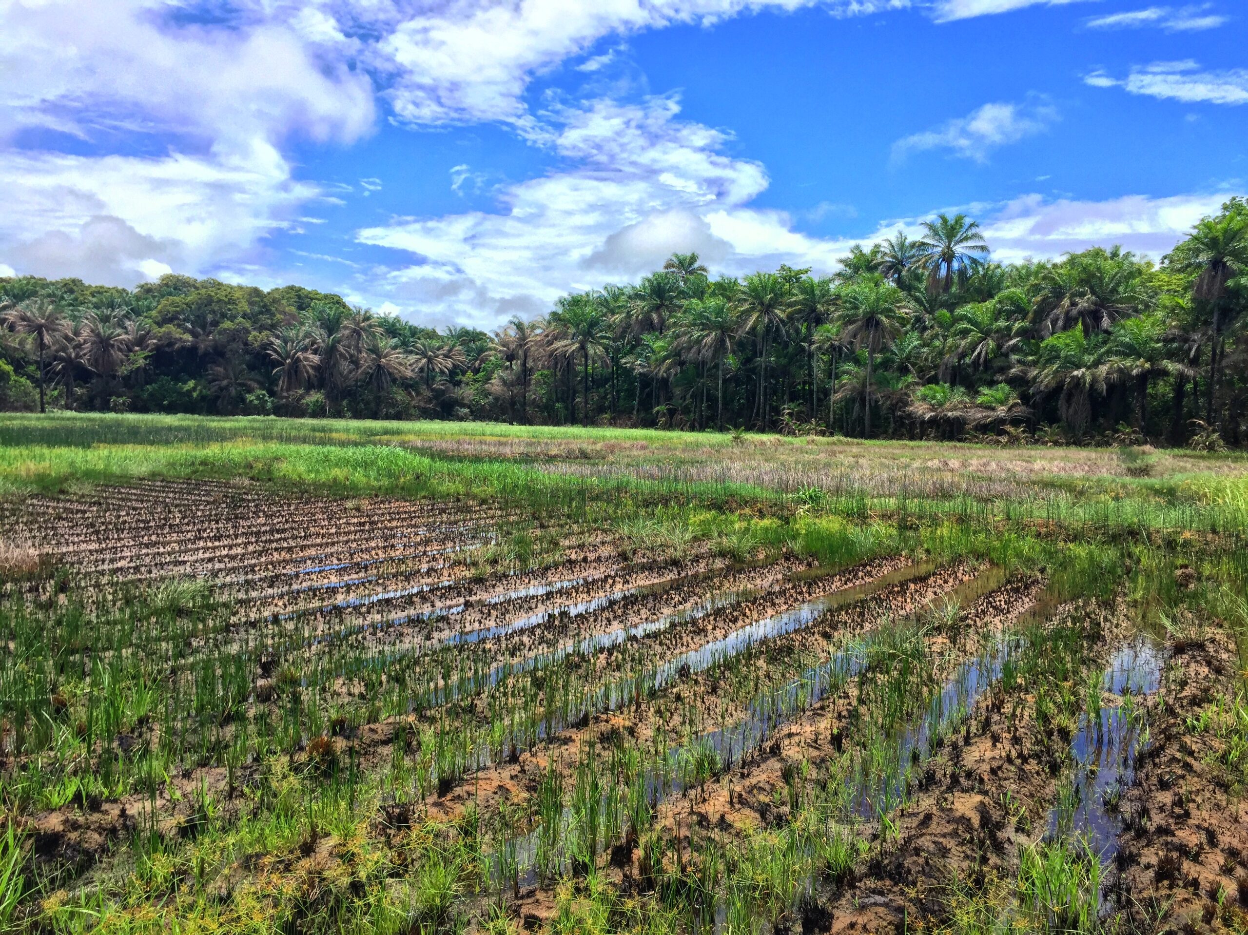
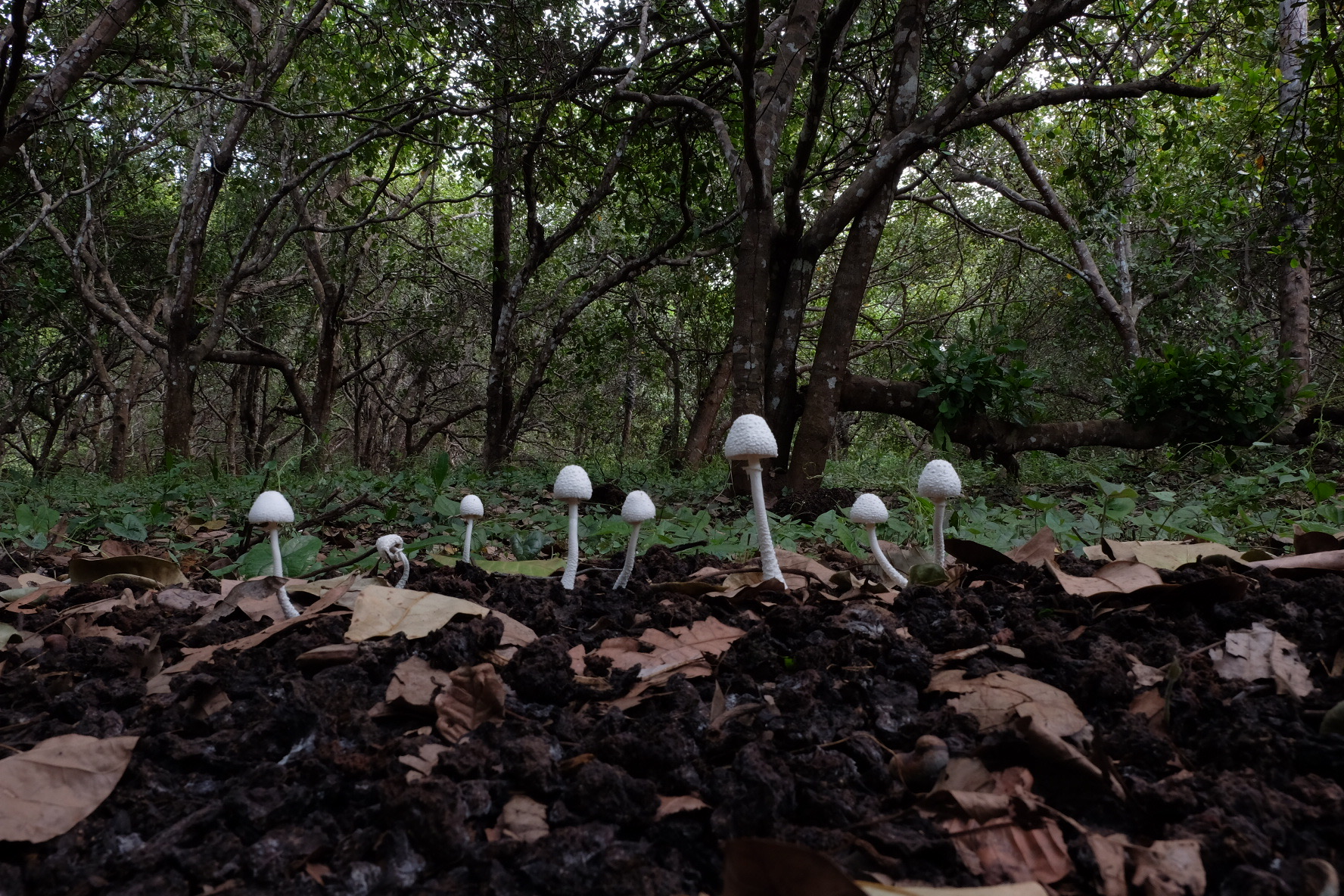
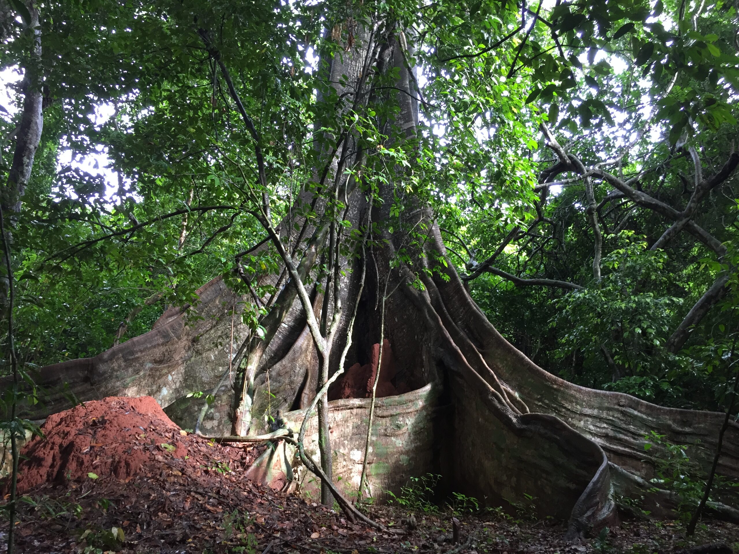
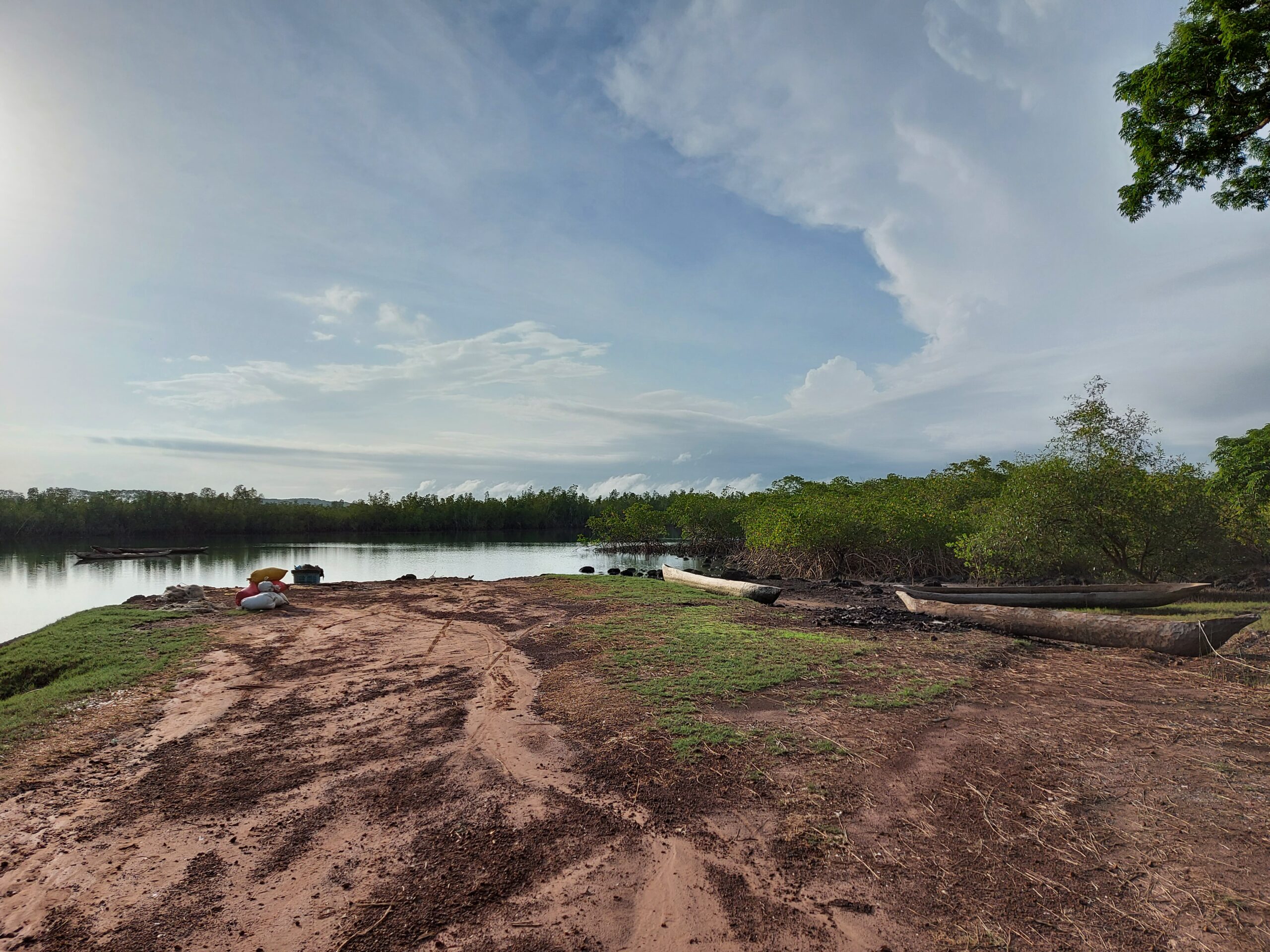
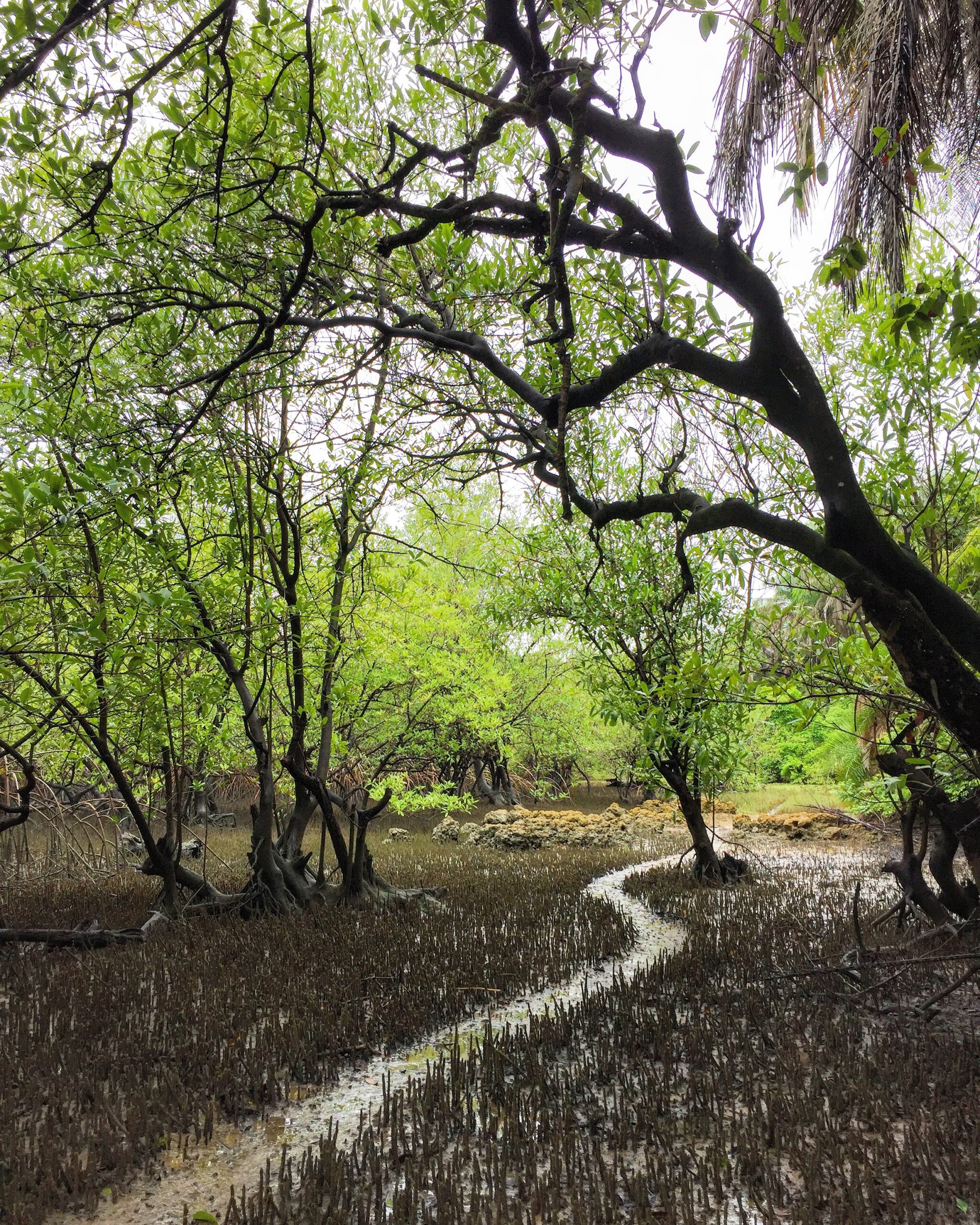
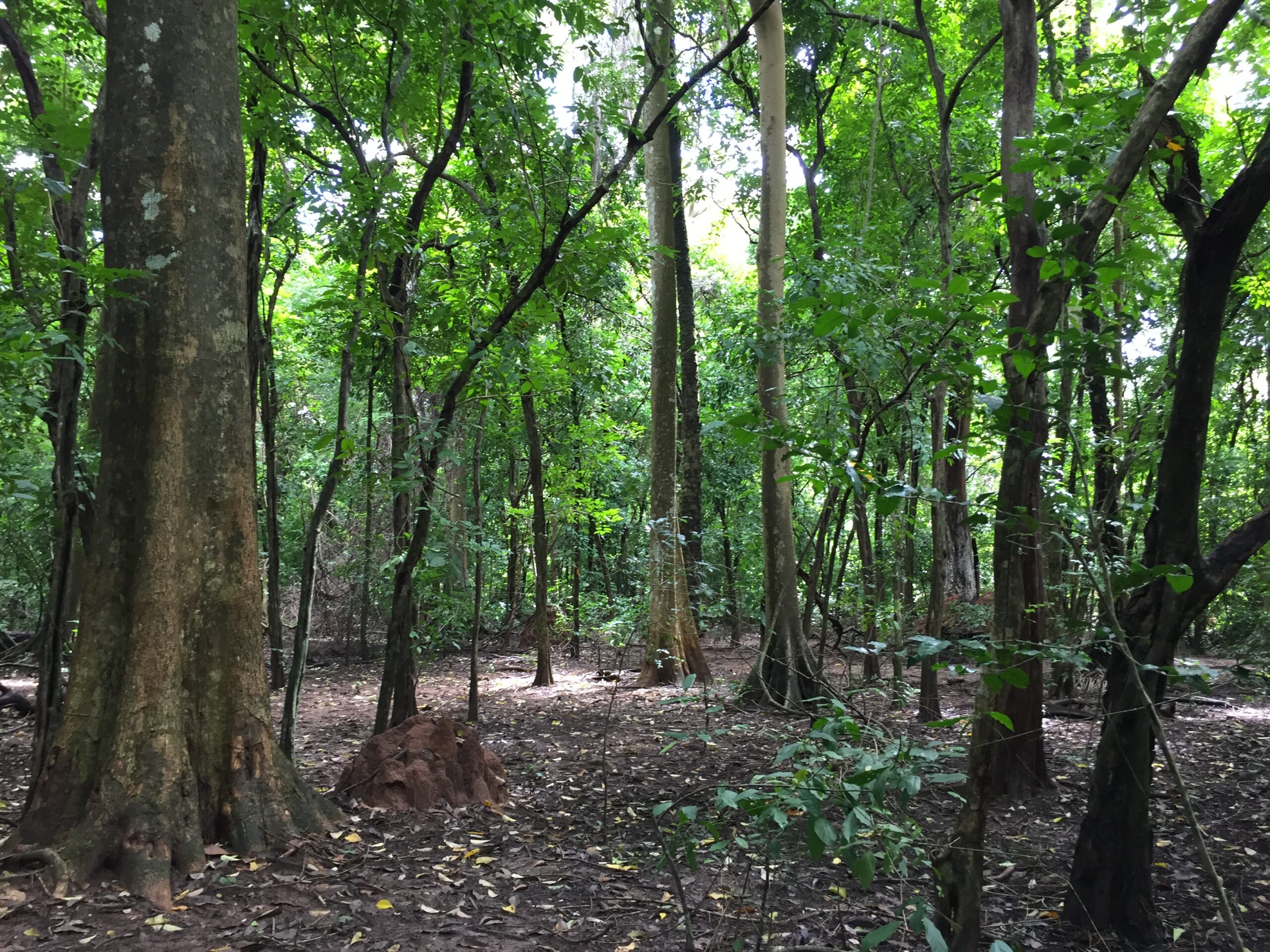
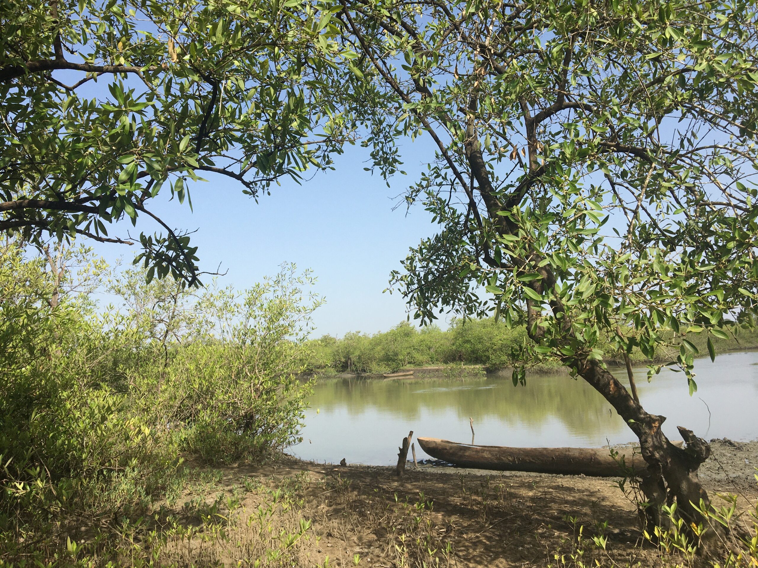
Covering an area of 1067 km2, the park includes the entire Cubucaré peninsula, surrounded by the estuaries of Rio Cacine and Rio Cumbidja. Cantanhez NP is characterized by coastal sub-humid old-growth forest blocks, intermixed with mangroves, grassland, woodland, and various agricultural activities, such as cashew orchards, shifting cultivation, and mangrove swamp rice fields.
The territory is divided into three conservation zones:
The core areas
Which include 14 forest blocks
Sustainable agriculture
Which include several villages
Buffer zones
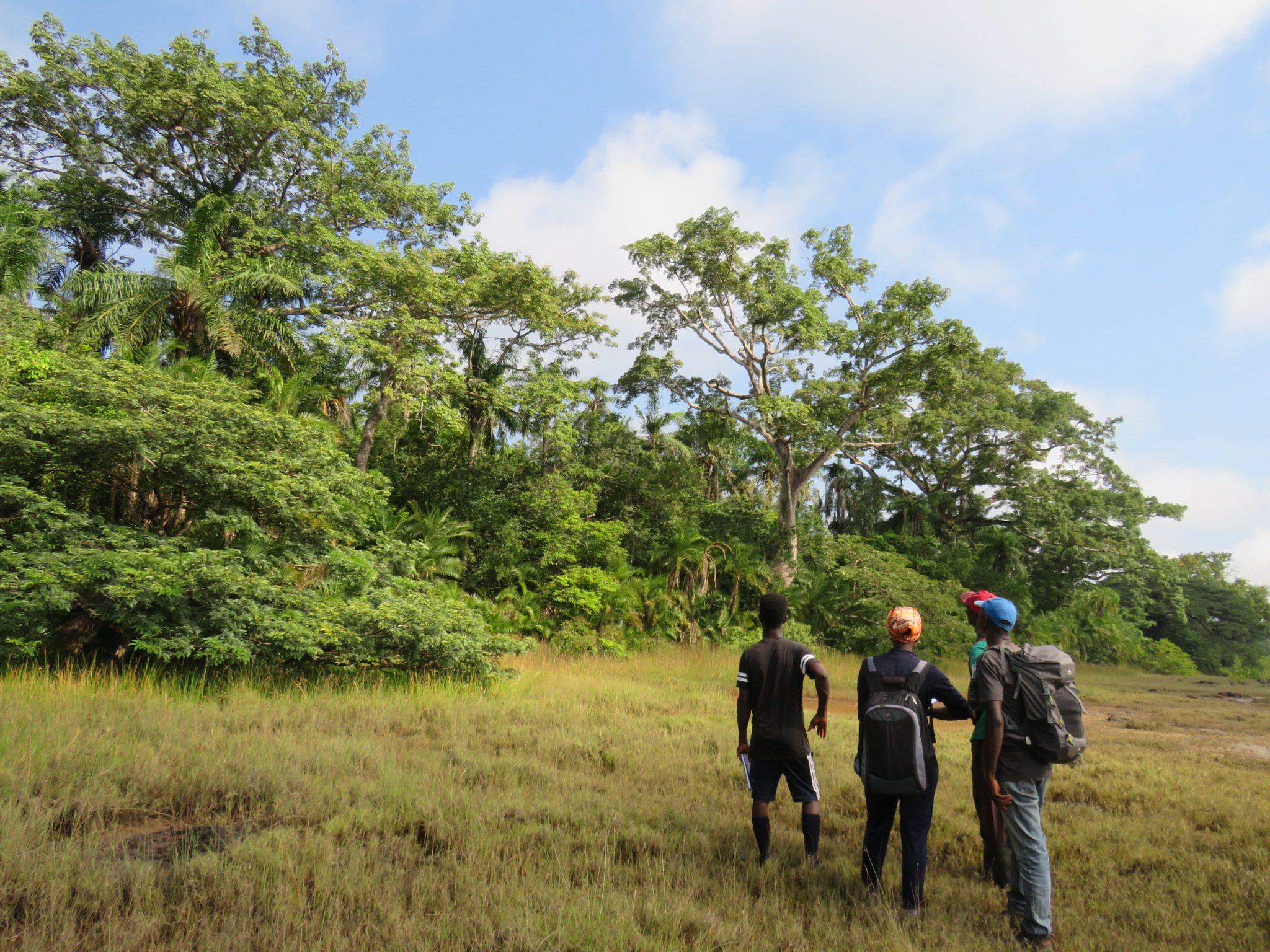
The central part of Cantanhez National Park holds cultural significance as the ancestral homeland of the Nalu people, who were reportedly the first ethnic group to inhabit the area.The park’s management involves the Regulos and village representatives who participate in meetings with IBAP park staff.

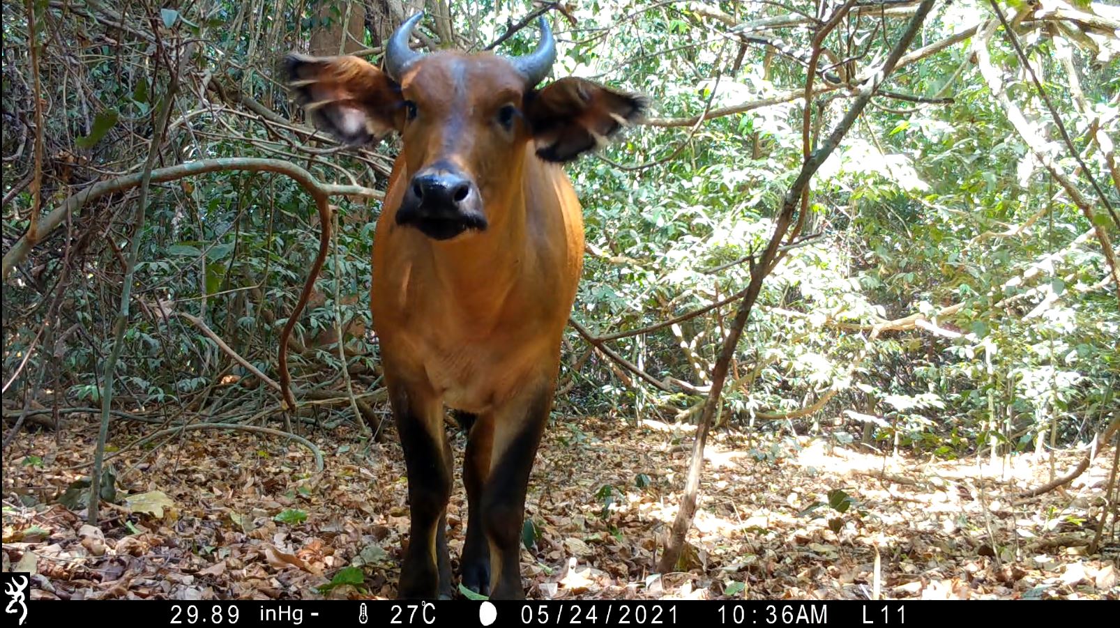
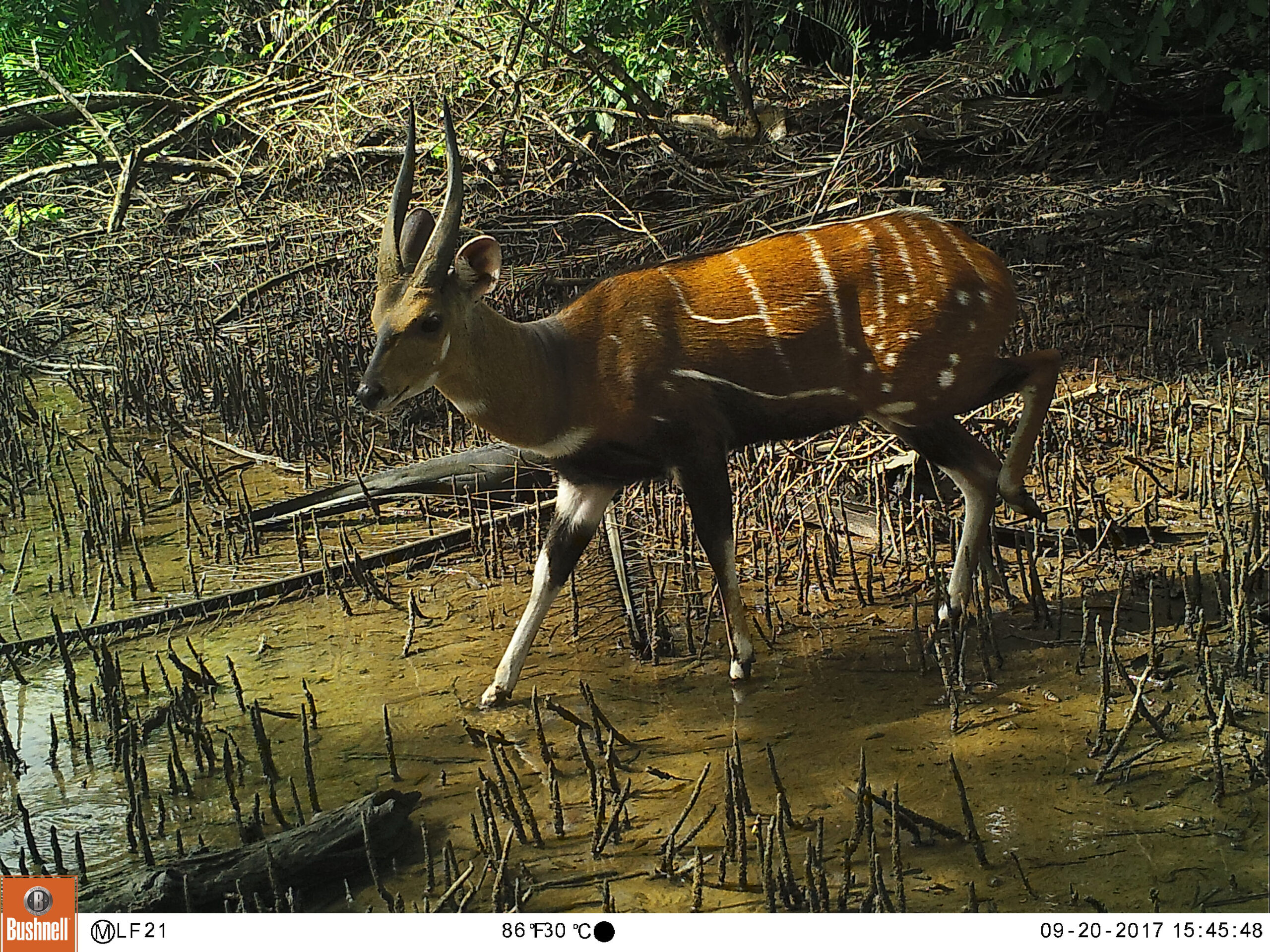
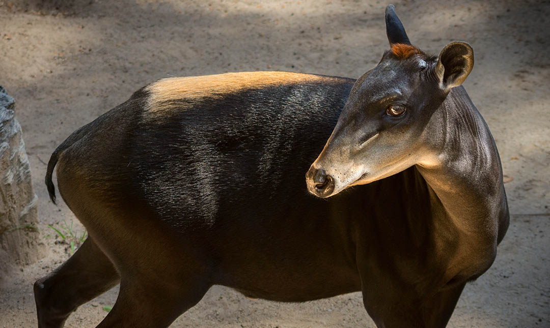
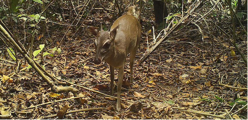
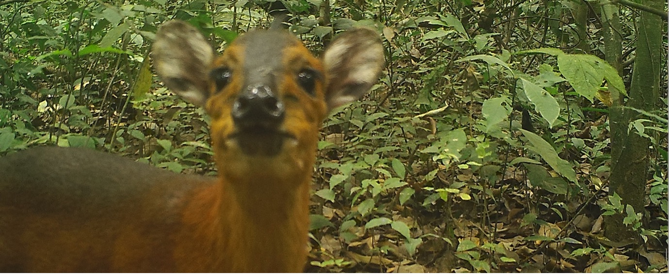
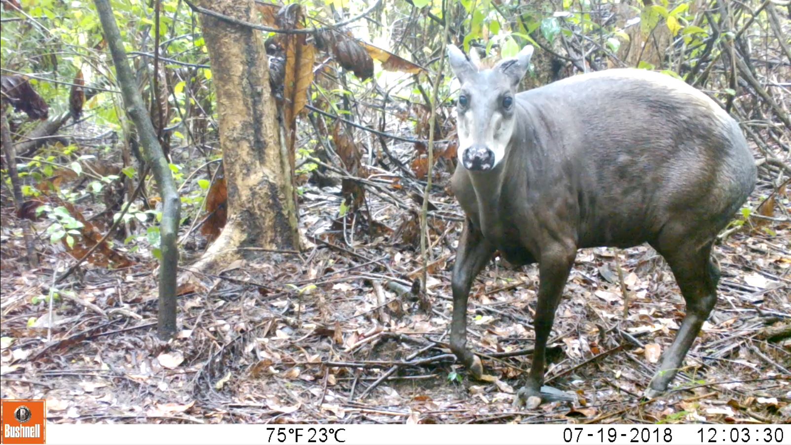
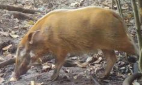
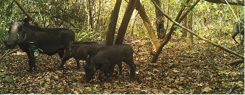
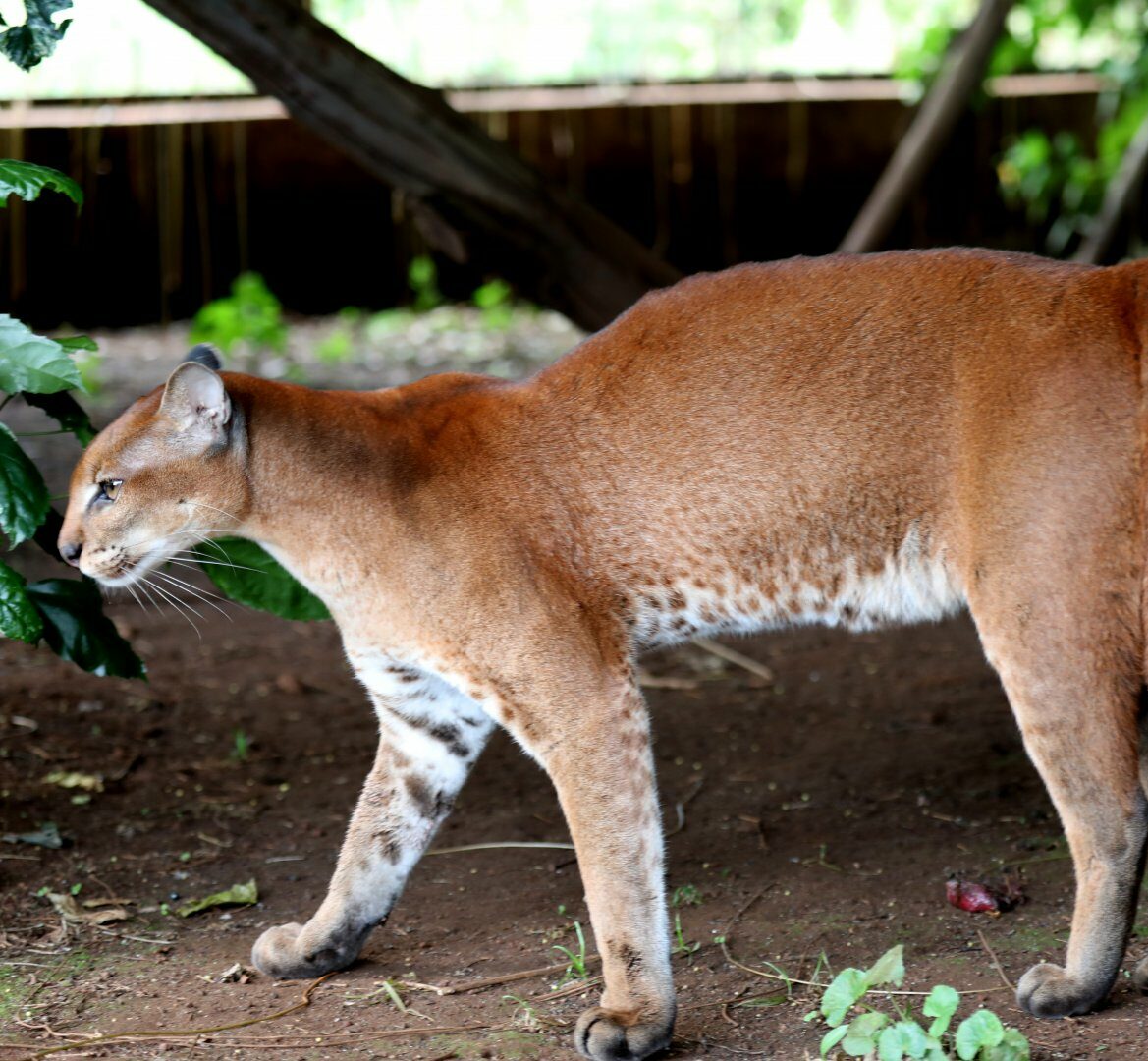
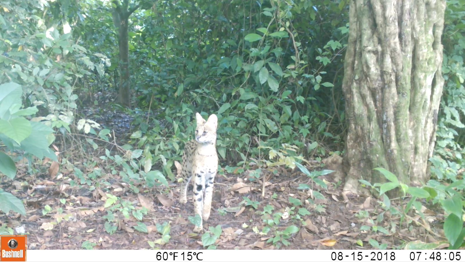
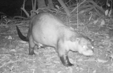
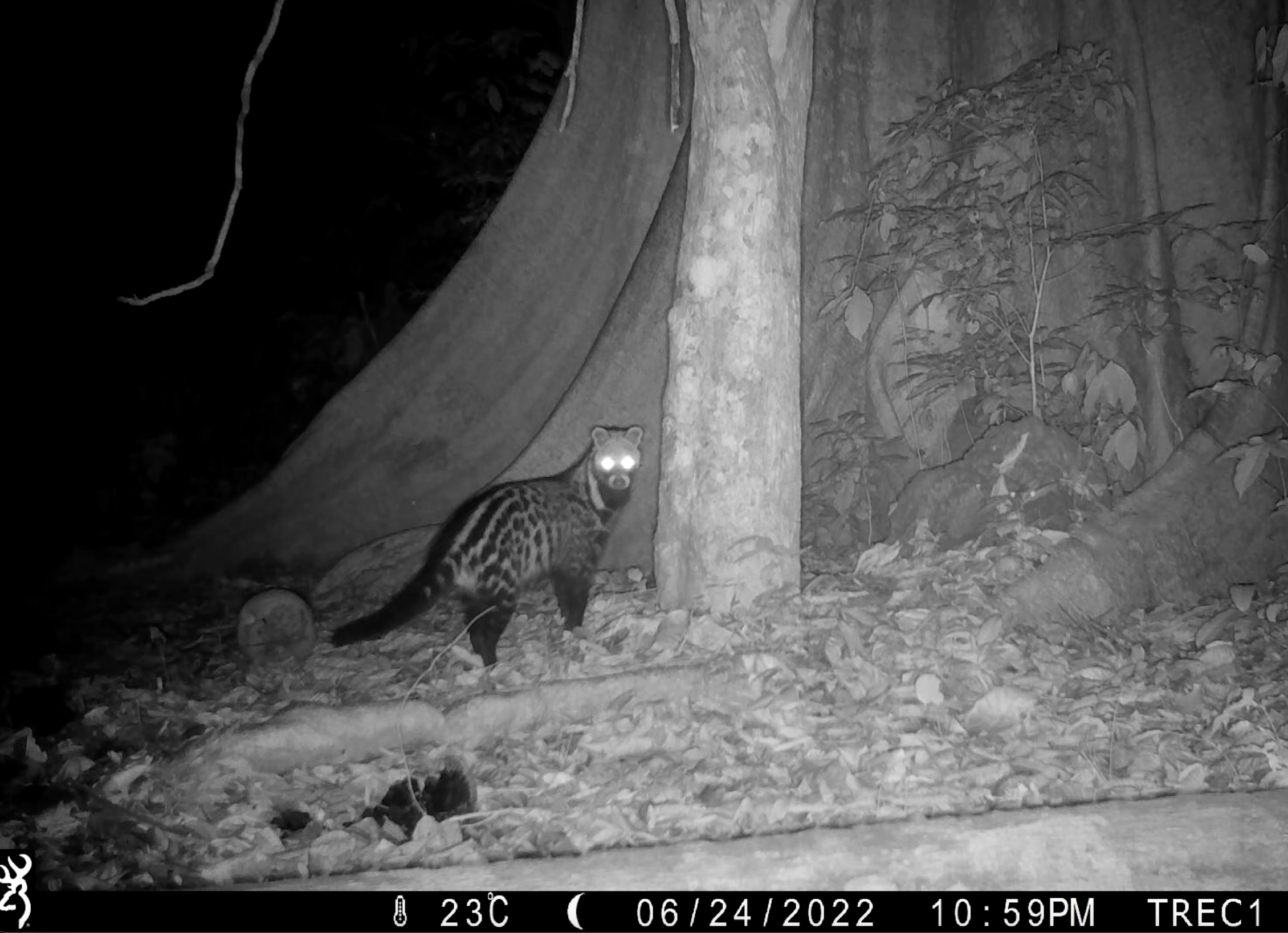
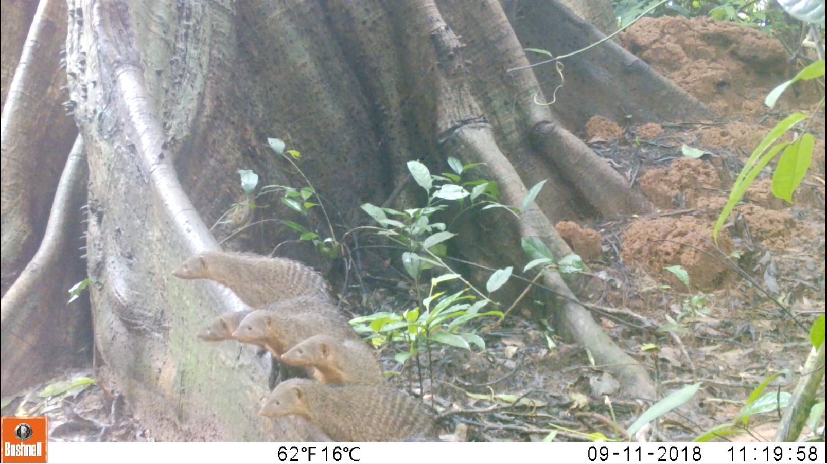
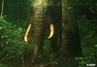
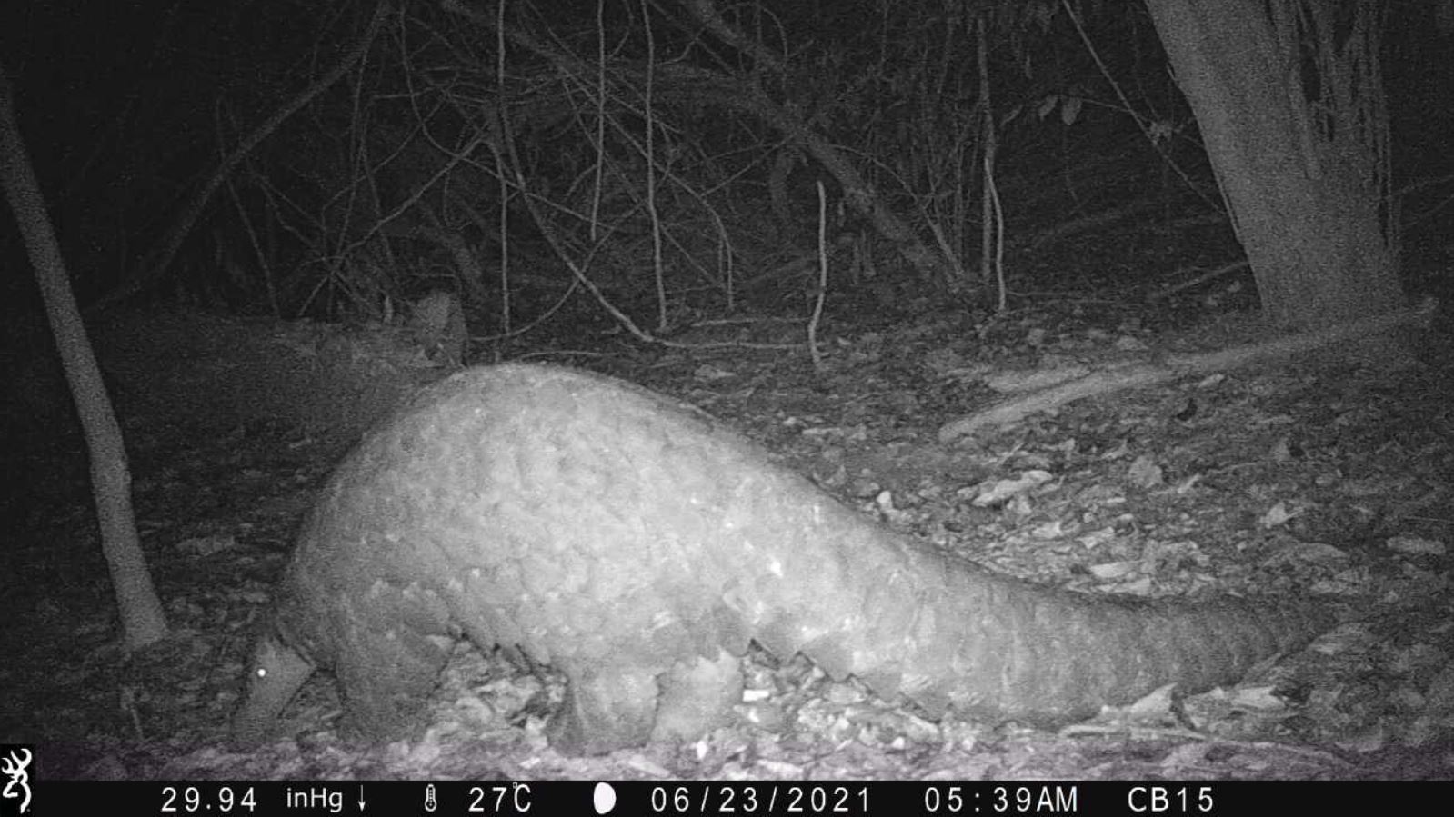
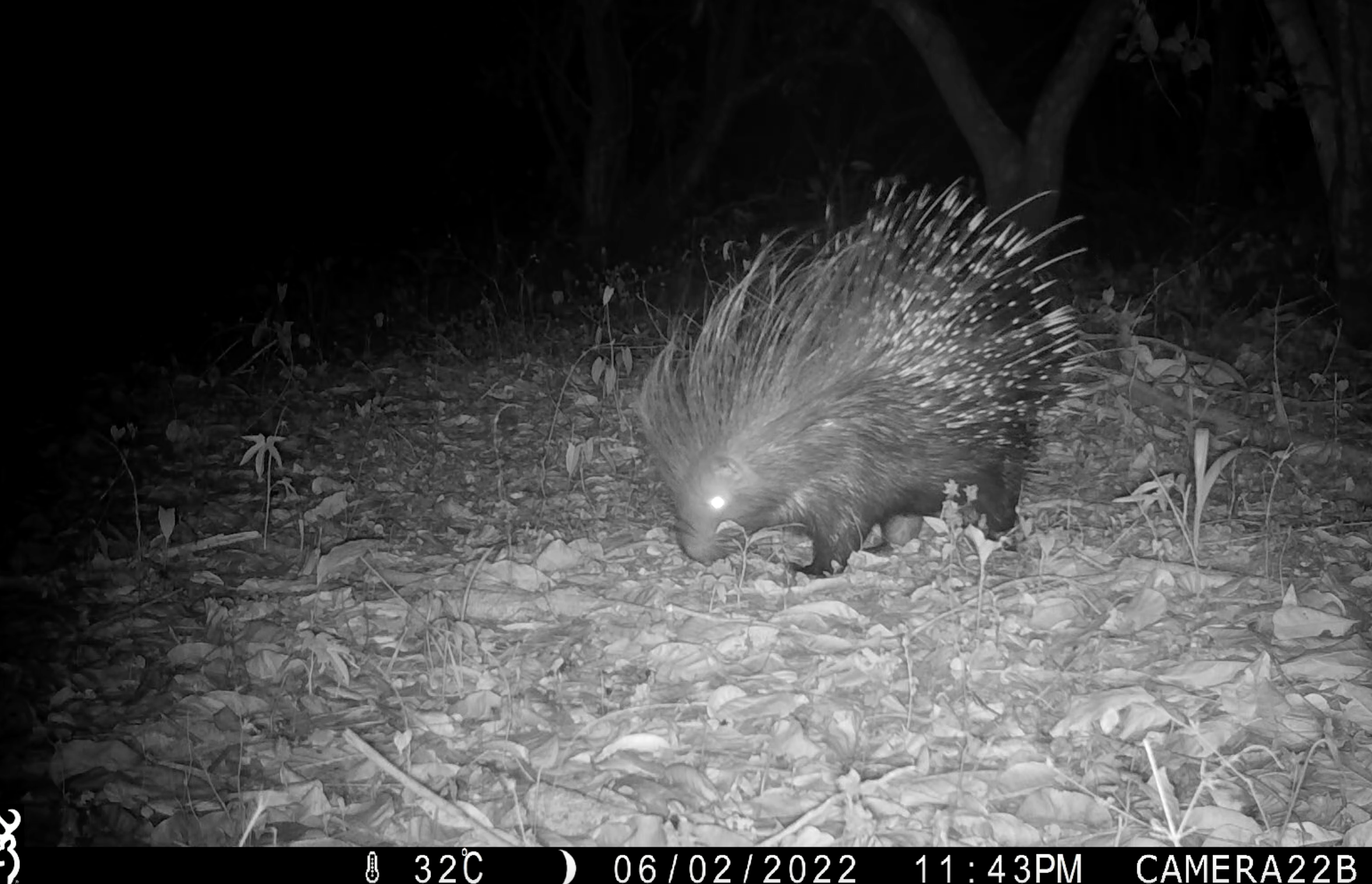
The National Park species
Some of the mammal species present
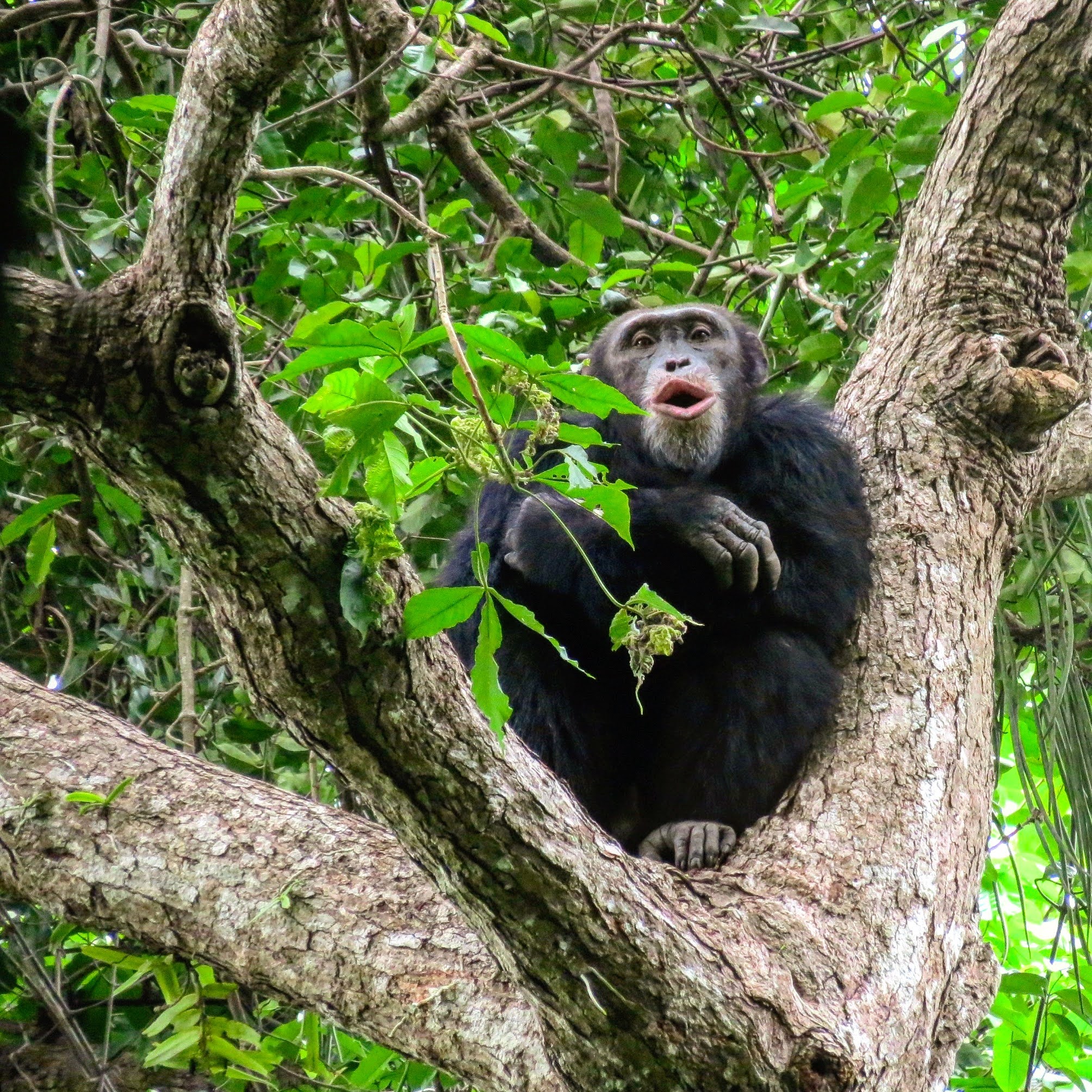
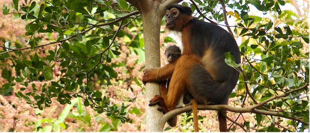
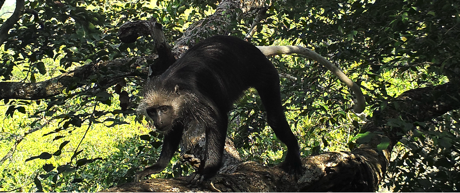
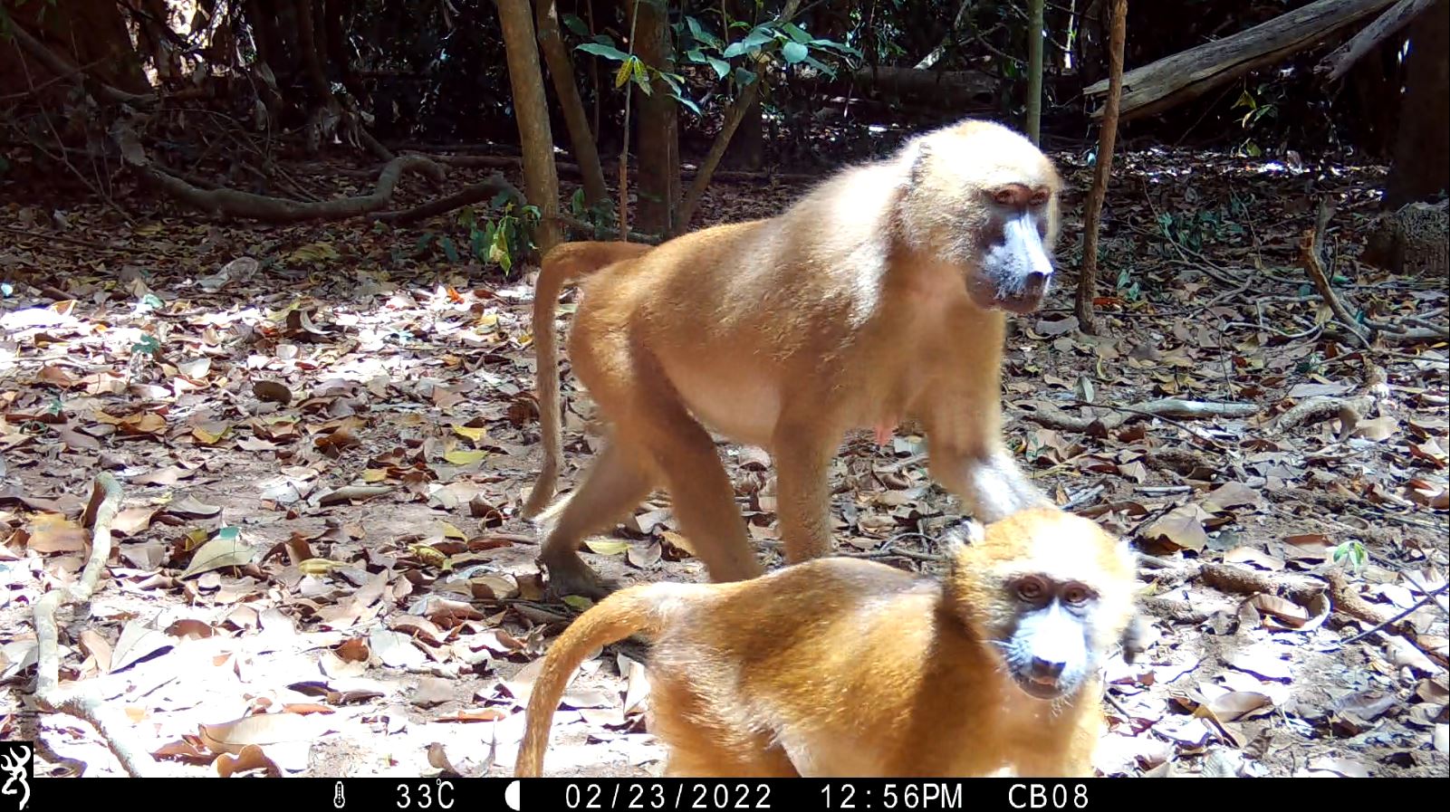
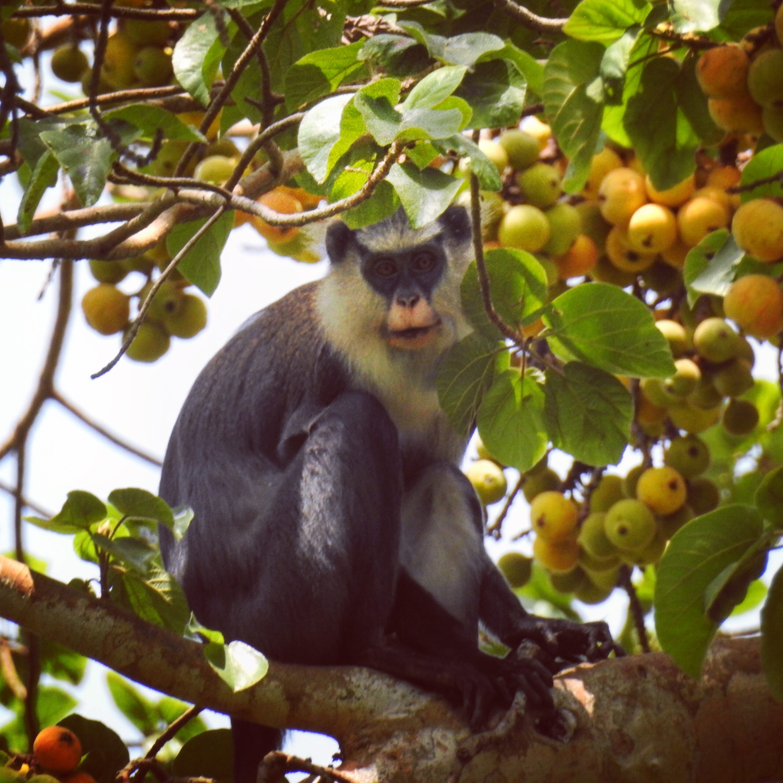
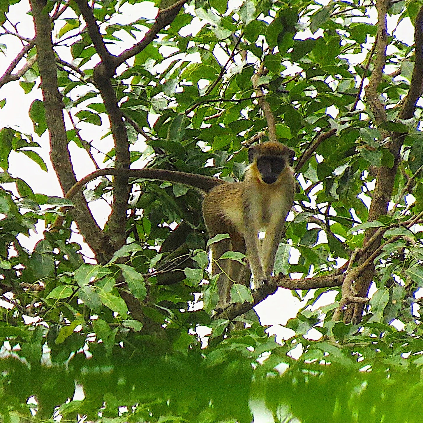
The park is home to a diverse range of primate species, including:
- western chimpanzees
- Temminck's red colobus
- King colobus
- Guinea baboons
- Campbell's monkeys
- Green monkeys
- and other mammals...
Mangrove swamp rice is cultivated throughout the park. Cashew orchards are the most prevalent agricultural land use in Cantanhez.
Within Cantanhez National Park
Most of its ~25,000 residents engage in cashew farming and shifting agriculture with crops such as groundnuts and upland varieties of rice, cassava, maize and sugarcane. Mango, orange, lime, baobab, and papaya are commonly grown within or near villages. Apart from farming, local communities rely on fishing and the collection of forest resources for medicine and food, including naturalized oil palm (Elaeis guinensis) and other wild fruits such as Saba senegalensis, Guinea plum (Parinari excelsa) and velvet tamarind (Dialium guineense), as well as wild meat.